Ga-Mawela intelligence platform
Restoring Land. Rebuilding Unity. Empowering Ga-Mawela.
A dedicated transparency platform for Ga-Mawela. Track corridor activity, follow SLP commitments, and keep evidence in one place.
Live update
Twickenham, Mototolo, and Der Brochen now carry the current Valterra Platinum identity used in the company's 2025 and 2026 reporting.
Ga-Mawela Land, Lineage & Mining Accountability
One landing thread now holds land history, oral memory, mining exposure, compliance watch, source links, and youth-facing access routes for Ga-Mawela.
Unified landing lens
Land, history, lineage, and mining accountability now read as one story.
The platform now keeps community memory, lineage review, corridor exposure, and access routes in one screen so the landing no longer repeats itself in disconnected blocks.
Video, roads, mountains, and community edges frame the platform as territory first and dashboard second.
Land first
St George 2 JT stays readable as land, heritage ground, and governance space.
History & lineage
Masetu, Lesedi, Moroka, and related family narratives now sit inside a clear lineage-review lane.
Compliance watch
Mining exposure, SLP delivery, and representation gaps stay tied to source material and evidence.
Culture & youth
Dikoma memory, gatherings, and youth knowledge spaces belong inside the same community product.
Ground context
St George 2 JT is land, not a mine.
Located in Sekhukhune District along Dwars River / Steelpoort mining belt. This area sits on one of the richest mineral zones globally — the Bushveld Complex. The land itself is extremely valuable due to platinum + chrome deposits.
Platform focus
Follow commitments, surface public evidence, track participation, and keep documents, representation, and opportunities in one view.
Land first
St George 2 JT stays visible as territory, heritage ground, and governance space.
Digital thread
History, documents, SLP tracking, and community reporting now move together.
Must-have lens
Lineage review, mining compliance watch, youth access, and community memory.
Interactive map preview
Understand the corridor at a glance
The preview keeps the land parcel visible alongside mines, projects, and a processing hub so the spatial story stays accurate.
Current updates
Valterra naming refreshed across the corridor
Twickenham, Mototolo, and Der Brochen now carry the current Valterra Platinum identity used in the company's 2025 and 2026 reporting.
Lion Smelter returned to production
Glencore reported first ferrochrome production at Lion Smelter on 16 February 2026 after the recommissioning programme in Steelpoort.
Current municipal planning references linked
The evidence layer now points residents to current Fetakgomo Tubatse planning and tariff material so local roads, services, and access debates can be read against official records.
History and lineage atlas
The home experience now prepares the history tab by showing land, memory, and corridor accountability as one connected story.
Heritage ground and cultural memory
Sacred places, initiation memory, and oral family records can sit alongside modern evidence tools without becoming a separate microsite.
Landing reel
Cinematic corridor frames
A moving filmstrip keeps the landing experience alive in the RESN direction while staying lightweight enough for the current app.
History and lineage atlas
The home experience now prepares the history tab by showing land, memory, and corridor accountability as one connected story.
Heritage ground and cultural memory
Sacred places, initiation memory, and oral family records can sit alongside modern evidence tools without becoming a separate microsite.
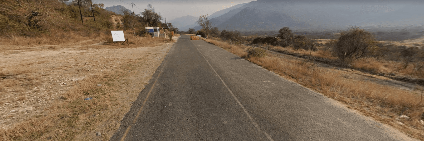
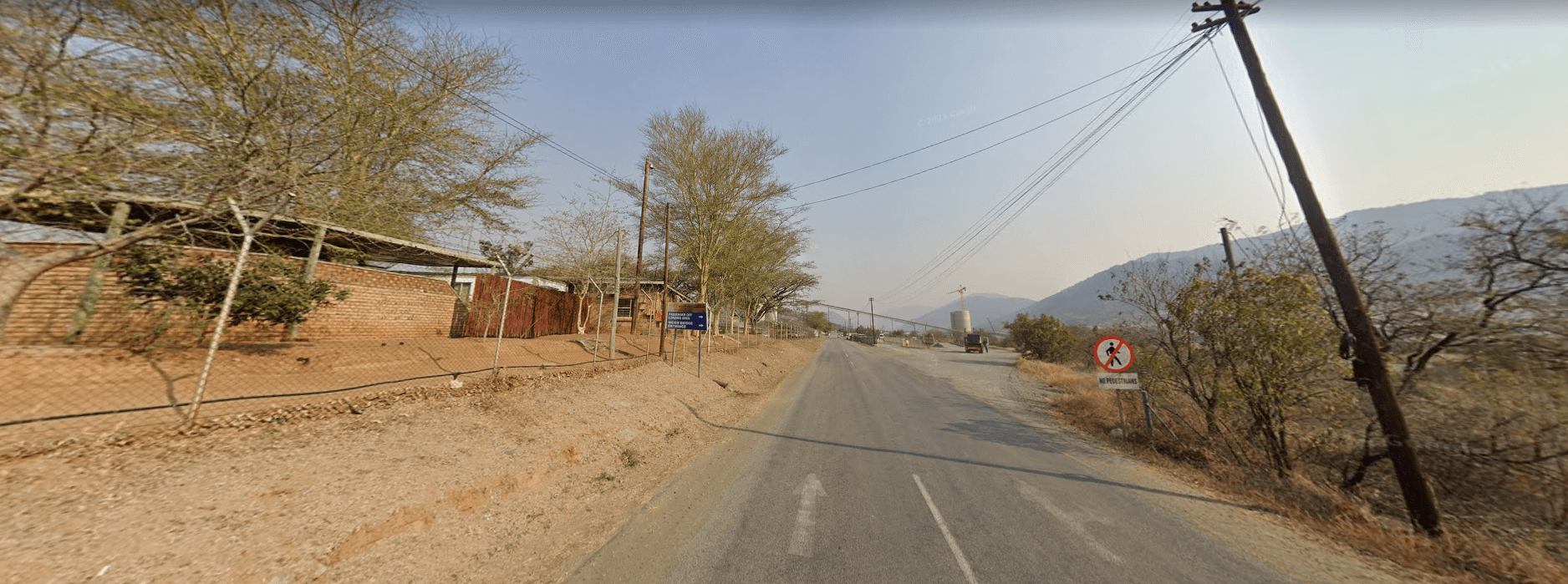
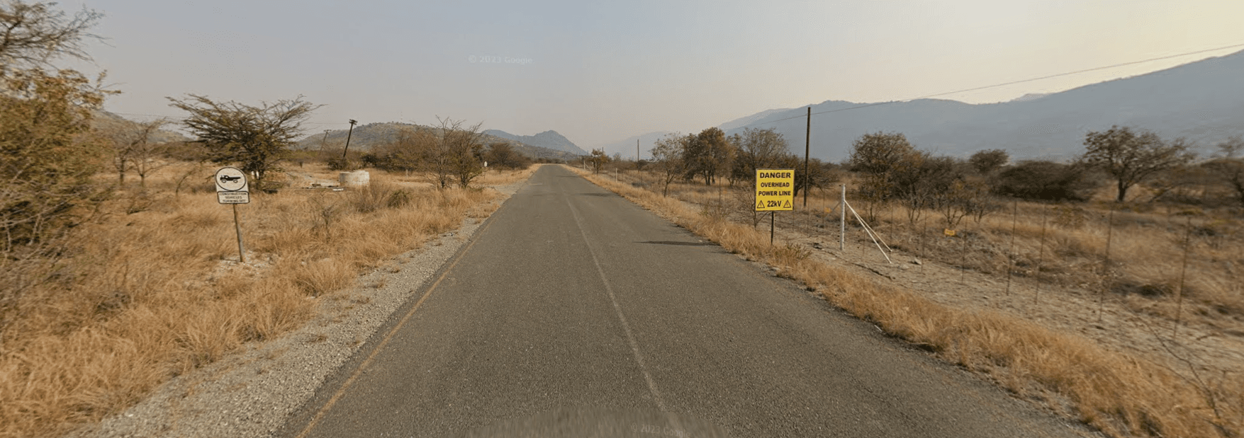
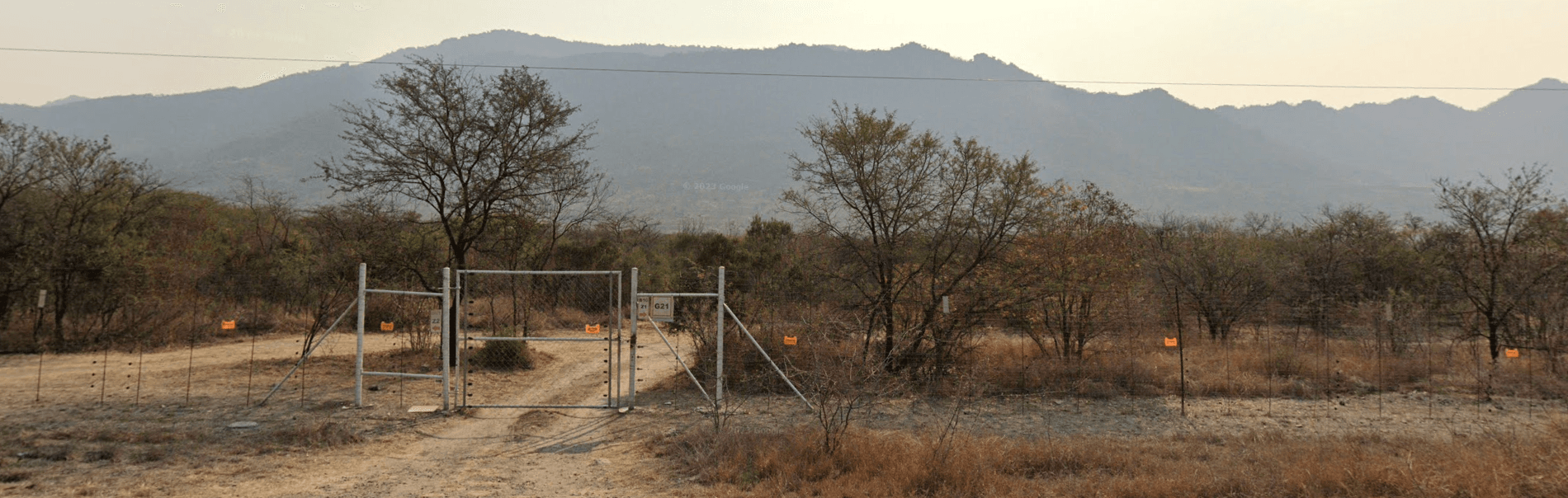
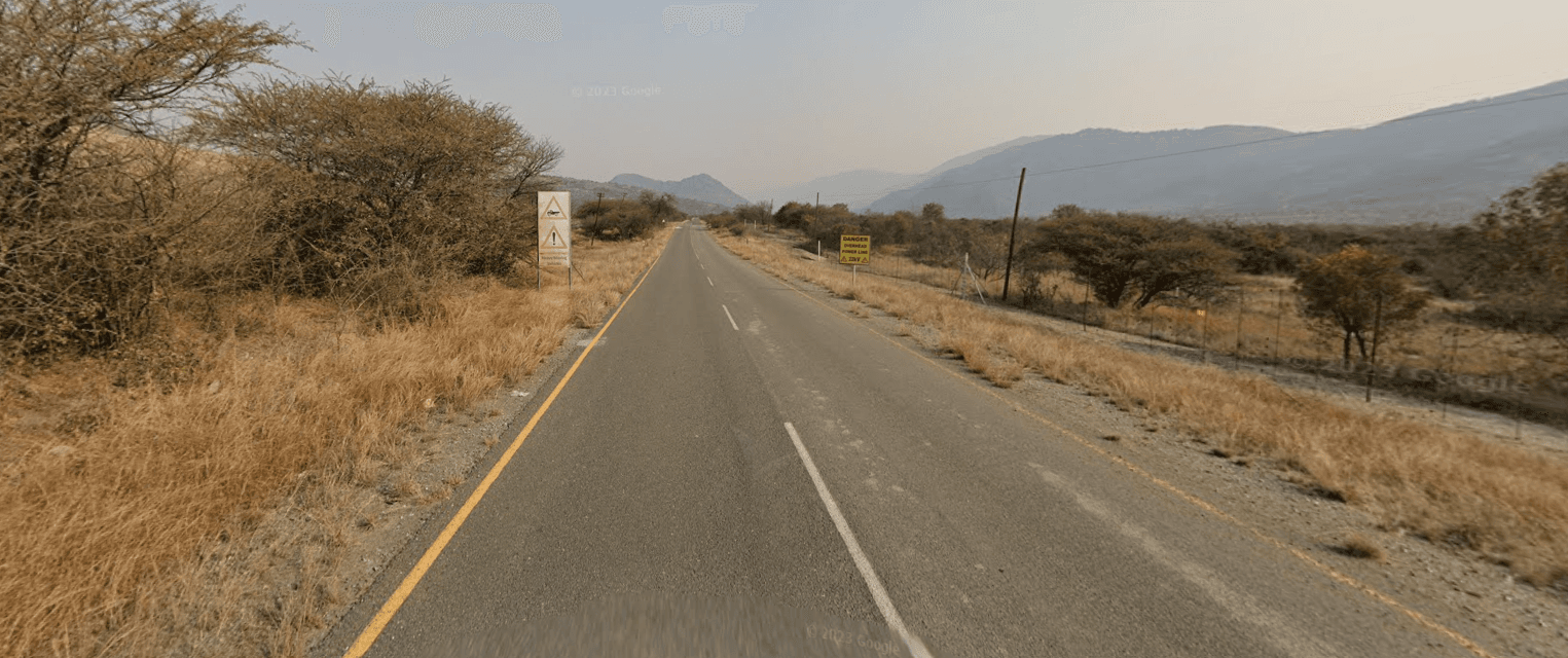
Routes, ridges, and observation points
Real photography gives the interface stronger local credibility while still leaving room for data, maps, and source trails.
People-facing accountability design
The platform is being tuned so youth, families, and community researchers can read history, documents, and opportunities without visual clutter.
History and lineage atlas
The home experience now prepares the history tab by showing land, memory, and corridor accountability as one connected story.
Heritage ground and cultural memory
Sacred places, initiation memory, and oral family records can sit alongside modern evidence tools without becoming a separate microsite.
Routes, ridges, and observation points
Real photography gives the interface stronger local credibility while still leaving room for data, maps, and source trails.
People-facing accountability design
The platform is being tuned so youth, families, and community researchers can read history, documents, and opportunities without visual clutter.
Mapped corridor nodes
10
Land parcels, mines, projects, and shared industrial hubs are kept in one spatial view.
Tracked commitments
12
Jobs, roads, schools, and training commitments now sit in one delivery view.
Official access channels
4
Opportunity cards point to official jobs, training, funding, and supplier routes.
Evidence and sources
11
Library documents and research references are combined into one evidence layer.